
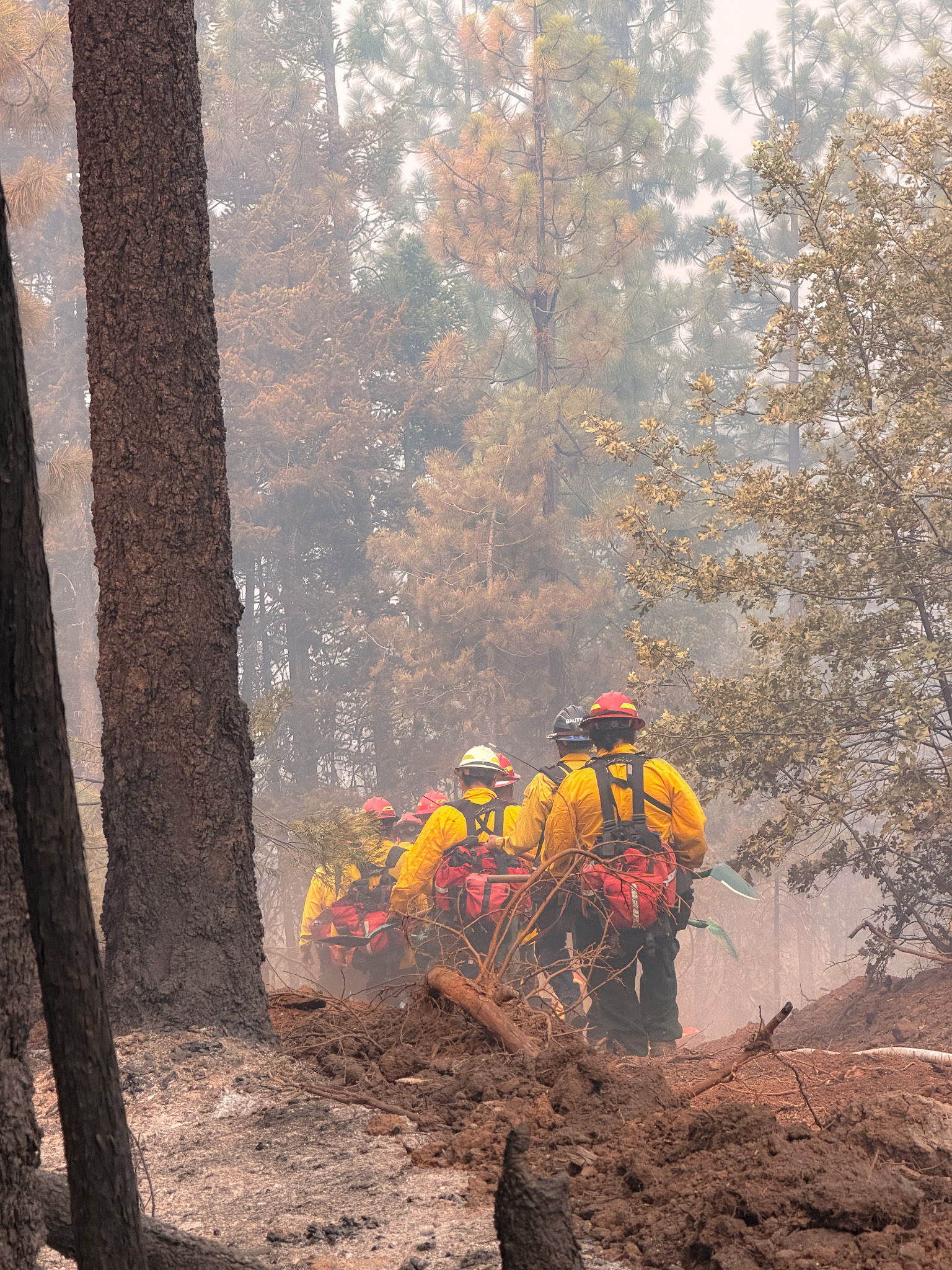
SAMS VALLEY, Ore. – Firefighters continued making steady progress across the East Evans Creek Fire today, ahead of another afternoon of critical fire weather. The strategic relocation of helicopters to an alternate base outside the morning inversion proved successful, allowing aircraft to begin flying earlier in the day and maximizing support for firefighters on the ground. Structural tenders supported suppression efforts by supplying water to dip sites, helping helicopters maintain a steady pace of water-dropping operations throughout the day.
On the Board Mountain spot fire, where a portion of the fire crossed established control lines yesterday, firefighters continued strengthening and connecting lines around the expanded fire area. Although crews were having success securing the perimeter, this afternoon, fire activity increased on the southern and eastern edges, where the fire again crossed control lines. The eastern slop over has been controlled, and firefighters are actively engaged in the area southwest of Boswell Mountain. A large airtanker with retardant has been ordered to support suppression efforts. Structural resources remain positioned near homes in the Antioch, Jones Road, and Pomeroy areas to provide structure protection while supporting wildland suppression operations.
On the Canyon Creek spot fire, firefighters quickly contained a roughly half-acre slop over after a burning tree fell across the control line, carrying embers into unburned vegetation west of the fire edge. Resources, including helicopters with water buckets, rapidly engaged the spot before it could spread further and are continuing mop-up operations. Structural resources remain assigned throughout the Shady Cove, Trail, Long Branch, and Dry Creek areas as part of a proactive structure protection plan.
Although hot, dry conditions and decreasing relative humidity contributed to increased fire activity on the Board Mountain and Canyon Creek spot fires this afternoon, activity has been limited across the main fire and the spot northwest of Hull Mountain, where firefighters installed additional hose lays to extend mop-up operations farther into the fire area. Structural preparation has been completed in the Ramsey Canyon Road area, and crews are continuing to provide high-capacity pump support to increase water delivery for wildland operations.
Tonight, across the main fire, firefighters will continue pushing mop-up farther into the fire footprint, increasing the depth of extinguished fuels behind established control lines to reduce the potential for heat reaching containment features. Resources assigned to more stable portions of the incident are available to quickly reinforce areas experiencing increased fire activity, allowing operations to remain flexible as conditions evolve.
Spotting potential remains elevated as exceptionally dry vegetation, heavy fuel loading, steep terrain, and persistent heat continue to support rapid fire spread. While completed and strengthened control lines have reduced risk in many areas, critical fire weather remains the primary operational concern. Hot temperatures, shifting winds, and a low potential for dry thunderstorms could challenge suppression efforts, with any increase in wind capable of quickly increasing fire activity. Incident meteorologists continue to monitor changing weather patterns, including a potential increase in monsoonal moisture early next week, before another period of hot, dry, and breezy conditions returns later in the week.
This afternoon’s community meeting was well attended both in person and online. Firefighters appreciate the continued engagement and support from the community as operations progress. Providing timely, transparent information remains a priority as crews continue working around the clock to extinguish the fire, strengthen control lines, protect homes, and respond wherever conditions require.
Tonight, resources from the incident are also supporting initial attack efforts on a new start in the ODF Southwest Oregon District. This coordinated effort helps ensure firefighters and equipment are available to respond quickly to new fire starts while continuing ongoing suppression operations.
Evacuations: There are evacuations in place in both Jackson and Douglas counties, issued by both counties’ Sheriff’s Offices and Emergency Management. Up-to-date evacuations are available here: https://readyjacksonco.com/Emergency/emergency-information-hub-east-evans-creek-road-fire
Find your evacuation zone here: https://tinyurl.com/EastEvansCreekFireEvacMap
Road/Land Closures: The Tiller-Trail Highway is closed at the county border in Jackson County to Highway 62. Traffic is closed to the public on East Evans Creek Road at Meadows Road. The BLM has issued a road closure for West Fork Evans Creek Road and Rock Creek Road. Please avoid the fire area to allow firefighters and heavy equipment to operate safely. Road closure information is available on https://tripcheck.com/
A closure order for BLM-administered lands near the East Evans Creek Fire is in place. Public entry, including hunting, hiking, and camping, is prohibited. More information about the closure, including a map, is available online at www.blm.gov/orwafire.
Smoke Impacts: Smoke from the East Evans Creek Fire may settle into valleys and other low-lying areas, reducing visibility and impacting air quality in nearby communities. Smoke conditions can change throughout the day as winds shift. Individuals sensitive to smoke should take appropriate precautions. For current air quality information and smoke forecasts, visit: https://fire.airnow.gov/.
Temporary Flight Restriction (TFR): A “TFR” is in place for the fire area daily (24 hours) until further notice. Complete information is available at https://tfr.faa.gov/tfr3/?page=detail_6_4915
Flying a drone near or around a wildfire is illegal, compromises the safety of both pilots and firefighters, and interferes with firefighting efforts.
Cause: The fire started on Friday, July 10th at 2:41 p.m. after a car crashed into a power pole, sparking dry vegetation in the area. The Jackson County Sheriff’s Office is currently investigating the cause of the crash.