
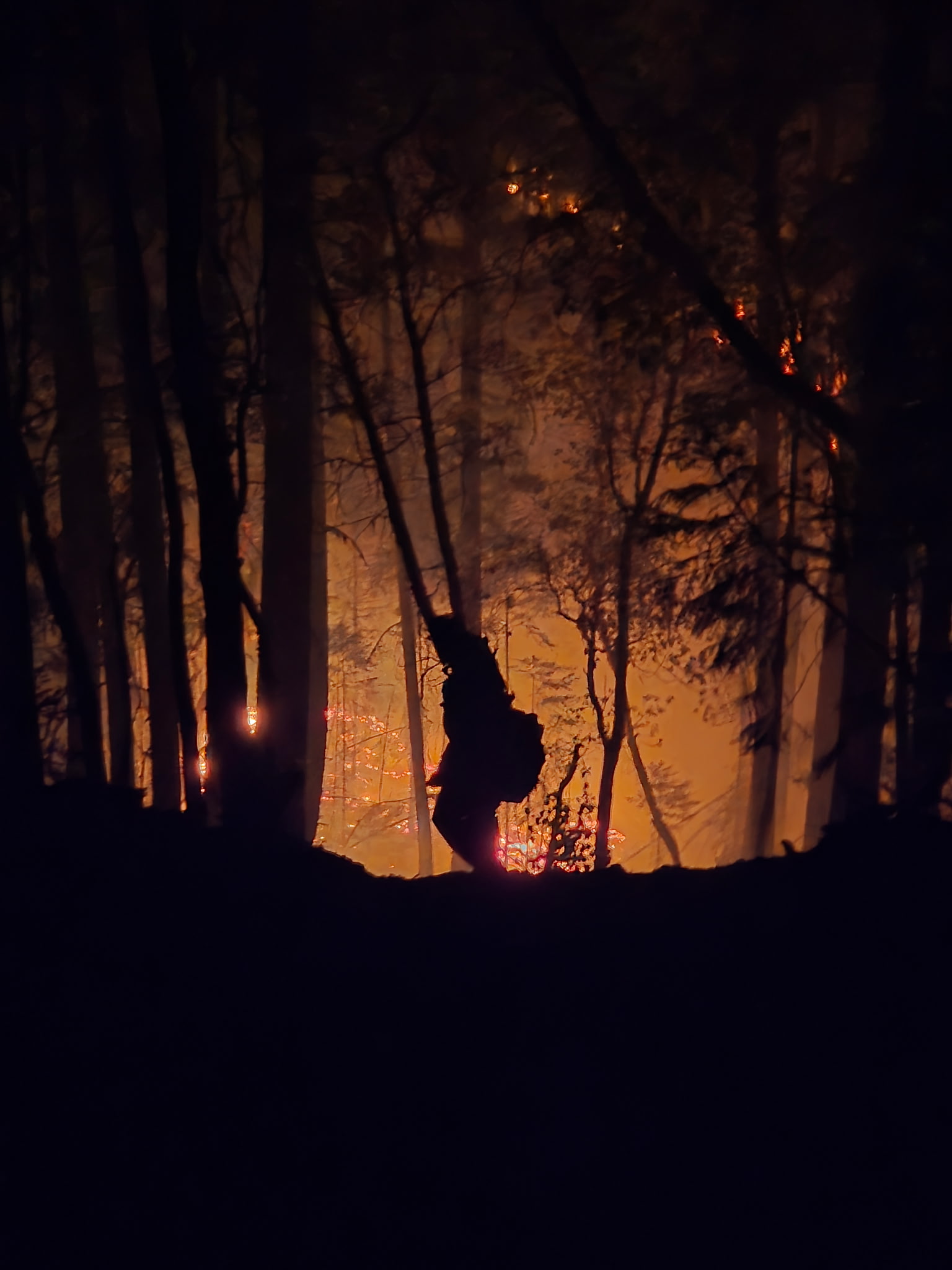
SAMS VALLEY, Ore. (July 13, 2026) – Firefighters worked all night continuing to build on progress across the East Evans Creek Fire, located approximately seven miles west of Shady Cove. Overnight, the fire continued to burn fuels within an area with difficult access and steep terrain on the northwestern edge in the Spignet Butte area, moving the fire perimeter toward the indirect fireline that firefighters have been constructing. Crews worked throughout the night to strengthen fireline and solidify the temporary retardant lines dropped by multiple air tankers yesterday and construct line around a ~20-acre slopover.
An overnight infrared (IR) flight found the acreage of the fire increased to 3,628. This change is due to the added fire activity yesterday within the established control lines.
Resources were able to hold lines and connect those sections with new line on the northeastern edge, as well as on the southern side, where the majority of homes are located. Overnight, Oregon State Fire Marshal (OSFM) structural resources patrolled the areas near houses and today, structural resources will continue to mop up 100 feet adjacent to homes within the fire.
Wildland resources continue to work along the south and eastern parts of the perimeter, where up to 25 feet of mop-up is complete across the perimeter. This work creates a cold, black control line that is difficult for fire to cross again. As this work continues, containment will begin to increase.
Weather conditions will continue to challenge firefighters today; instability in the forecast slightly increases the chance for thunderstorms across southern Oregon, which could create erratic wind on the fire, as well as the potential for sparking new fires in the area. East Evans Creek Fire Unified Command is aware and planning for these challenges, and can provide added resources should new fire starts be reported.
While safety remains a top priority on this incident, firefighters are committed to holding the fire in the smallest footprint possible and will continue to aggressively push forward on this progress.
The fire started on Friday afternoon at 2:41 p.m. after a car crashed into a power pole, sparking dry vegetation in the area. The Jackson County Sheriff’s Office is currently investigating the cause of the crash.
Evacuations: The Jackson County Sheriff’s Office and Emergency Management have issued the following evacuations by level:
Evacuation Level 3 Go Now: JAC-148A All residences located adjacent to E. Evans Creek Road, from address 19385 through 21899, are included in the evacuation area. Additionally, residences located at 21612 Antioch Road and 21615 Antioch Road are included.
Evacuation Level 2 Be Set:
JAC-016 / JAC-124 / JAC-147 / JAC-148B
Evacuation Level 1 Be Ready:
JAC-003 / JAC-004 / JAC-017 / JAC-026 / JAC-036 / JAC-109 / JAC-126 / JAC-149B
An evacuation shelter for residents and domestic pets has been established at Hanby Middle School, 806 6th Avenue, Gold Hill. Horses can be taken to the Expo at 21 Penninger Road, Central Point, Ore. For more information on evacuation levels or to find your evacuation zone, visit https://tinyurl.com/EastEvansCreekFireEvacMap. Expo staff and volunteers are prepared to receive horses; however, please call 541‑776‑7206 first to confirm space is available, as additional shelter locations may be activated. Owners should bring feed, water containers, and any necessary medications when possible.
For livestock sheltering assistance, call 541‑776‑7206.
Road Closures: Traffic is closed to the public on East Evans Creek Road at Meadows Road. Please avoid the fire area to allow firefighters and heavy equipment to operate safely.
Temporary Flight Restriction (TFR): A “TFR” is in place for the fire area daily (24 hours) until further notice. Complete information is available at https://tfr.faa.gov/tfr3/?page=detail_6_4915. Flying a drone near or around a wildfire is illegal and compromises the safety of both pilots and firefighters, and interferes with firefighting efforts.
# # #