
Incident Information:
Facebook: www.facebook.com/brewerfire
Email: brewer.boxsprings.fireinfo@gmail.com
FIRE AT A GLANCE
Brewer Fire
Estimated Size: 27,932 acres
Containment: 1%
Cause: Lightning
Box Springs Fire
Estimated size: 12,343 acres
Containment: 0%
Cause: Lightning
Resources:
Hand Crews: 23
Engines: 33
Heavy Equipment: 15
Water Tenders: 10
Aviation: 6
Total Personnel: 706
County Evacuations:
Level 1-3 evacuations in place for the Brewer and Box Springs fires. Evacuations are determined by Crook and Jefferson County Sheriff’s Offices.
Road Closures:
For road closures, visit: https://www.tripcheck.com.
Incident Commanders:
Rich LaBelle, OSFM Red Incident Management Team
Tyler McCarty, ODF Complex Incident Management Team 3
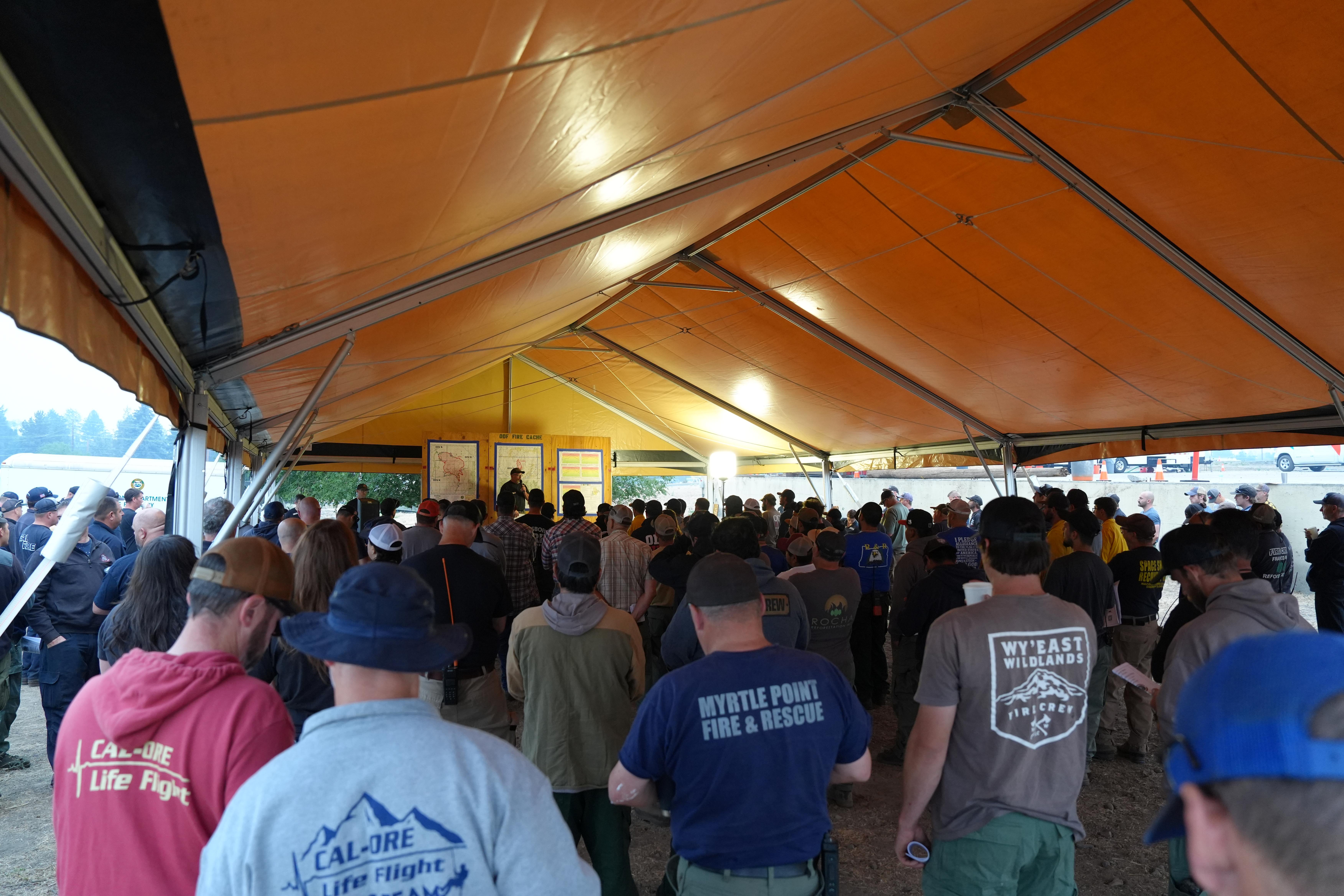
PRINEVILLE, Ore. (July 21, 2026) — The Brewer and Box Springs fires continue to receive additional firefighting crews and increased air capabilities today, as firefighters continue to build control lines around both fires, and protect homes and outbuildings.
Last night on the Brewer Fire, crews and heavy equipment built additional line on the fire’s western edge and will be approaching completion in the coming days. Structure point protection and patrol on the fire’s southern and eastern edge primarily focused on protecting communities, with two OSFM task forces supporting wildland crews. Firefighters were successful in suppressing a spot fire around structures off Schneider Way.
Last night, the Box Springs Fire was active for most of the night, firefighters were able to hold their lines and extinguish spot fires that occurred.
Today’s weather is expected to be mixed. Cloud cover for most of the morning, with a few breaks, and potential for isolated thunderstorms this afternoon, with the possibility of lightning and anticipated wind speeds of 20-30 mph.
With high temperatures and dry conditions, fire activity is likely to increase throughout the day. Wind directions are expected to switch today from north-northeast in the morning and early afternoon and then switch direction in late afternoon from the east-southeast.
Today, with new resources and air capability, firefighting crews look to seize opportunities to create line on the Box Springs Fire along the south and western edge.
On the Brewer Fire, crews continue to secure existing lines, establish new ones and focus on point protection and patrol around homes south of the fire’s perimeter.
Closures:
BLM has issued closures for lands in and near the fires. See below for current information:
BLM Closures and Restrictions: https://www.blm.gov/programs/fire/regional-info/oregon-washington/fire-restrictions
Evacuations:
Level 1, 2 and 3 evacuations are in effect for the Brewer and Box Springs fires. County sheriff’s offices issue evacuation orders. The most current evacuation information is available at: Crook County: www.facebook.com/CrookCountySheriff and Jefferson County: www.facebook.com/JeffersonCountyORSheriff/
Smoke Impacts:
Smoke from the Brewer and Box Springs fires may be visible in Prineville and surrounding areas, reducing visibility and impacting air quality in nearby communities. Smoke conditions can change throughout the day as winds shift. Individuals sensitive to smoke should take appropriate precautions. For current air quality information and smoke forecasts, visit: https://fire.airnow.gov/.
If You Fly, We Can’t: Temporary Flight Restriction (TFR):
A “TFR” is in place for the fire area daily (24 hours) until further notice. Flying a drone near or around a wildfire is illegal and compromises the safety of both pilots and firefighters and interferes with firefighting efforts. If you fly, we can’t. All illegal drone use will be reported to law enforcement.
Air Quality Information:
Air quality updates: https://fire.airnow.gov/