
Incident Information:
Facebook: www.facebook.com/brewerfire
Email: brewer.boxsprings.fireinfo@gmail.com
FIRE AT A GLANCE
Brewer Fire
Estimated Size: 29,878 acres
Containment: 5%
Cause: Lightning
Box Springs Fire
Estimated size: 15,203 acres
Containment: 0%
Cause: Lightning
Resources:
Hand Crews: 28
Engines: 42
Heavy Equipment: 17
Water Tenders: 16
Aviation: 6
Total Personnel: 850
County Evacuations:
Level 1-3 evacuations in place for the Brewer and Box Springs fires. Evacuations are determined by Crook and Jefferson County Sheriff’s Offices.
Road Closures:
For road closures, visit: https://www.tripcheck.com.
Incident Commanders:
Rich LaBelle, OSFM Red Incident Management Team
Tyler McCarty, ODF Complex Incident Management Team 3
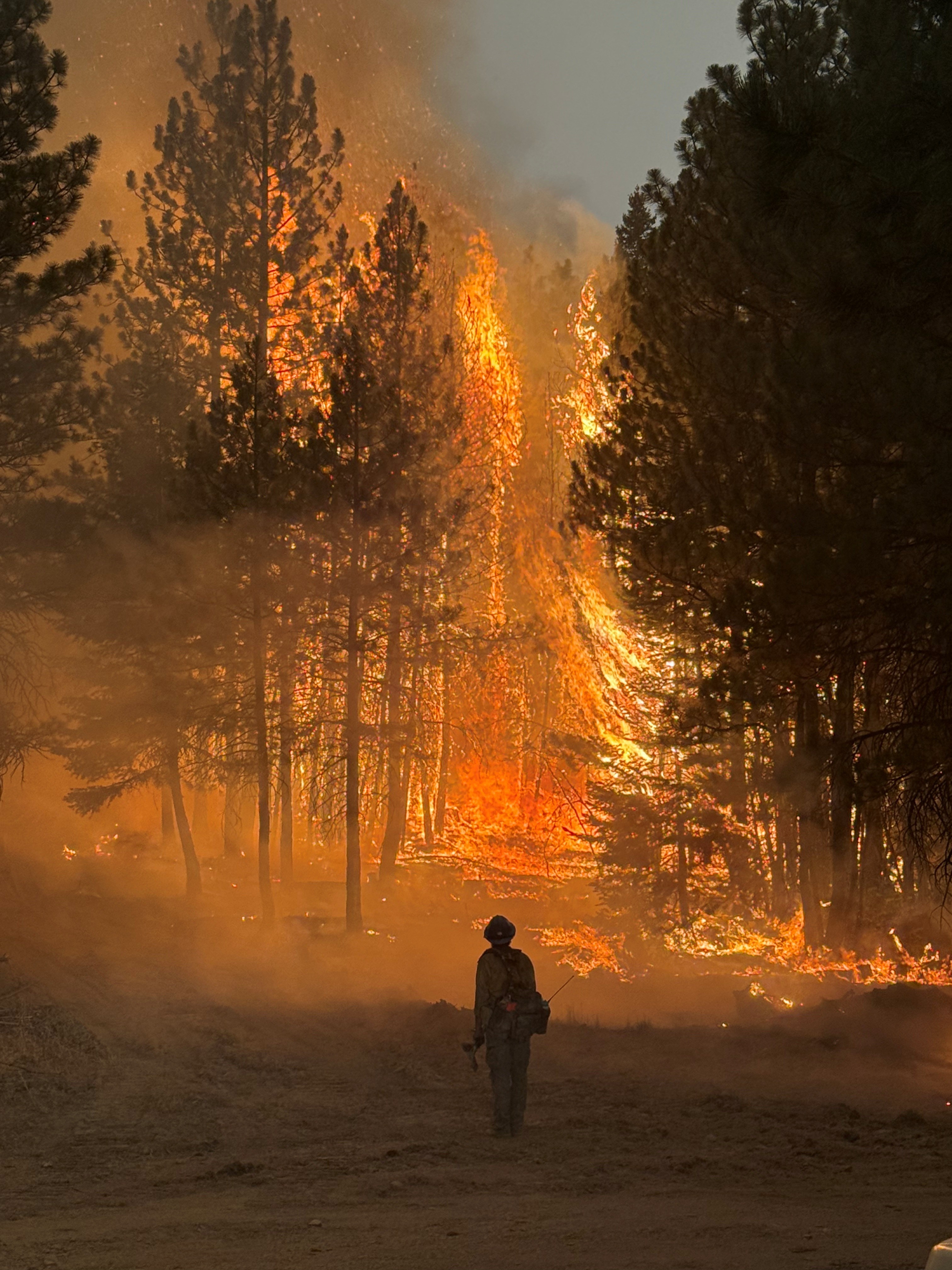
PRINEVILLE, Ore. (July 22, 2026) — Firefighters worked through the night on the Brewer and Box Springs fires, increasing containment on the Brewer Fire to 5%.
A Red Flag Warning is in effect today from 11 a.m. to 11 p.m., with thunderstorms expected to challenge suppression efforts. Aviation resources will support operations as smoke and weather allows.
Overnight, crews reinforced control lines and made significant progress along the south and west flanks of both fires. Fire behavior remained active, with firefighters quickly detecting and extinguishing several spot fires that crossed containment lines. Firefighters and dozers also successfully contained a slopover near Lofton Creek Road.
Weather continues to be a major factor. Overnight warmth, which increased fire activity, challenged suppression efforts as crews tied handline into dozer line and strengthened containment ahead of today’s forecast. Gusty, erratic winds of 35–45 mph and temperatures in the 80s and 90s are expected, increasing the potential for fire growth and spread. Because little to no rain fell yesterday, forecasted lightning could spark new ignitions. Structural and wildland resources remain positioned to respond rapidly to any new starts.
Rain is possible later today and could help moderate fire activity. Forecasts call for a 35–50% chance of at least 0.10 inch of rain and a 15–25% chance of 0.25 inch or more. The incident meteorologist will continue monitoring conditions and providing crews with advance warning of significant weather changes.
Today on the Brewer Fire, crews will be working to expand and install new direct control lines on the eastern edge, continue to patrol and hold the south and western edges. On Box Springs, firefighters will continue to tie in line and watch for spots across the line to minimize spread.
OSFM structural resources remain engaged along the south edge of the Brewer Fire, conducting point protection and mop-up operations around threatened structures. Three task forces will continue working in the Lofton Creek and Grizzly Road areas to strengthen structure protection efforts and reduce potential impacts as fire behavior is expected to increase.
Evacuations:
Level 1, 2 and 3 evacuations are in effect for the Brewer and Box Springs fires. County sheriff’s offices issue evacuation orders. The most current evacuation information is available at: Crook County: www.facebook.com/CrookCountySheriff Jefferson County: www.facebook.com/JeffersonCountyORSheriff/
Smoke Impacts:
Smoke from the Brewer and Box Springs fires may be visible in Prineville and surrounding areas, reducing visibility and impacting air quality in nearby communities. Smoke conditions can change throughout the day as winds shift. Individuals sensitive to smoke should take appropriate precautions. For current air quality information and smoke forecasts, visit: https://fire.airnow.gov/.
Closures:
BLM has issued closures for lands in and near the fires. See below for current information:
BLM Closures and Restrictions: https://www.blm.gov/programs/fire/regional-info/oregon-washington/fire-restrictions
If You Fly, We Can’t: Temporary Flight Restriction (TFR):
A “TFR” is in place for the fire area daily (24 hours) until further notice. Flying a drone near or around a wildfire is illegal and compromises the safety of both pilots and firefighters and interferes with firefighting efforts. If you fly, we can’t. All illegal drone use will be reported to law enforcement.
Air Quality Information:
Air quality updates: https://fire.airnow.gov/