
Email: 2026.rowecreekcomplex@firenet.org | Phone: 541-800-1280 (8am – 8pm)
InciWeb: https://inciweb.wildfire.gov/incident-information/orprd-rowe-creek-complex
Facebook: https://www.facebook.com/rowecreekcomplex
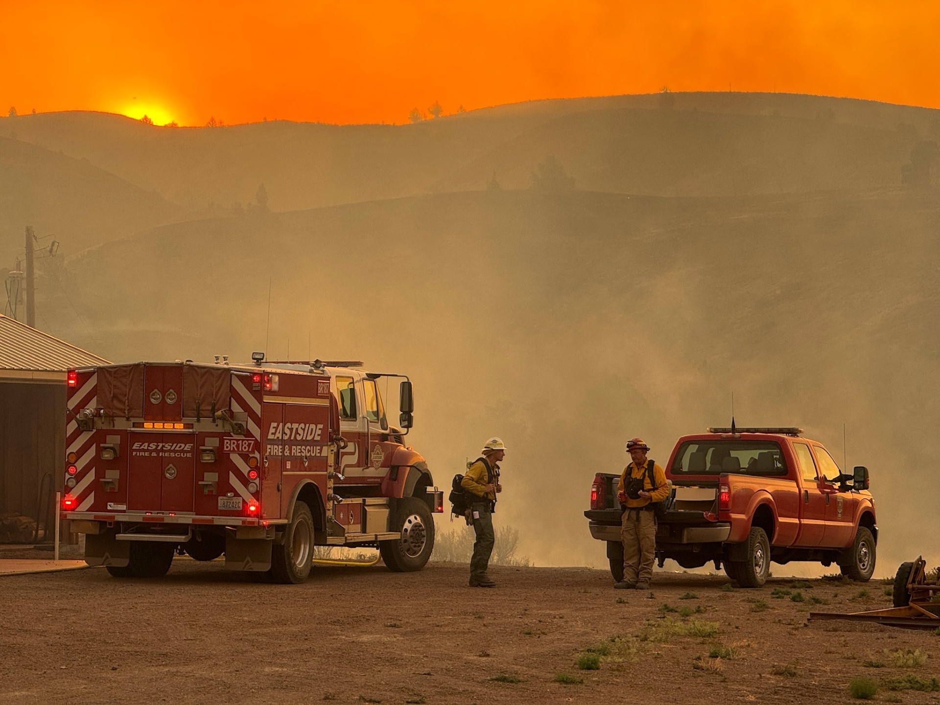
Rowe Creek Complex
Containment: 0%
Location: Fossil, Oregon
Cause: Lighting
Fuels: Grass, juniper, timber
Resources Assigned: Crews: 16 | Dozers: 6 | Engines: 40 | Skidgine: 2 | Personnel: 551
Aerial Resources: 8 aircraft are available to the fire today
A community meeting will be held tomorrow, Tuesday July 21, at 6:30 p.m. in Fossil at the Wheeler High School Gymnasium
Crosswhite Fire:
Size: 128,020 | Containment: 0%|
Yesterday: Winds out of the north drove fire growth to the south and southeast with two fingers pushing towards
Highway 26. Oregon State Fire Marshal (OSFM) and multiple wildland firefighter agencies worked through the day and
night to protect the structures under threat. Structural resources will be concentrated in the areas of new fire growth and
assisting wildland fire crews with burnout operations to slow the fire’s spread. Crews are working on existing containment
lines in the northeast corner of the fire and is burning through steep and rugged terrain. Crews successfully held existing
containment lines and strengthened control efforts along the northwest edge of the fire.
Today: Firefighters will keep working along the southern and southeastern perimeter where the fire is expected to remain
active. OSFM taskforces will be actively protecting structures along Highway 26, which remains affected by fire activity.
Wildland firefighters will scout the northeastern side of the fire to identify the safest and most effective routes for
resources. Crews will also continue monitoring burnout operation performed yesterday. Other planned work for today
includes strengthening existing control lines, checking for remaining hot spots, and shifting additional resources to the
south and southeast fingers of the fire, where winds are expected to increase fire activity.
Deep Canyon Quick Facts:
Size: 8,089 | Containment: 0%
Yesterday: The fire remained in a monitored status with limited movement. Crews sustained patrol operations and
maintained control around the fire’s existing footprint.
Today: Crews will continue patrol and mop‑up where accessible, focusing on securing residual heat near the line.
Camel Hump Fire Quick Facts:
Size: 6,391 | Containment: 0%|
Yesterday: Firefighters implemented a burnout operation along Shoofly Creek. The fire stalled in higher elevations, with
continued heat showing along the interior. Crews held last night’s burnout along Highway 207 and evaluated options for
further line construction. Structural protection crews also patrolled and worked to mop up around structures in the
Richmond area.
Today: Crews will reinforce line along Highway 207, look for opportunities to secure the perimeter, and continue scouting
access points for resources to enter the Shoofly Creek area. Additional resources being assigned to the fire today will
support suppression and scouting efforts.
Parrish Fire Quick Facts:
Size: 424 | Containment: 0%
Yesterday: Fire behavior moderated, allowing firefighters to improve control lines around the perimeter and continue
mop‑up.
Today: Crews will complete mop‑up where needed and patrol the perimeter for changes in fire activity. The fire is
expected to remain in a stable condition with containment efforts continuing.
Evacuations: Residents in Wheeler and Wasco counties should be prepared for rapidly changing evacuation levels. The
Sheriff’s Office has Level 1, 2, and 3 notices in place for communities near the active fires. Wheeler County residents can
sign up for alerts at https://oralert.gov/ or Wheeler County Facebook Page
https://www.facebook.com/WheelerCountySheriffsOffice/. Wasco County residents can access updates through the
Perimeter Maps dashboard: https://perimetermap.com/wascocounty-or
Closures: BLM has closed all BLM‑managed land along both sides of the John Day River from Service Creek to the
Columbia River. Additional closures may be implemented in Crook County due to nearby wildfires. Closure details:
blm.gov/programs/fire/regional-info/oregon-washington/fire-restrictions.
The National Park Service has closed the Clarno and Painted Hills units of the John Day Fossil Beds National Monument.
More information: https://www.nps.gov/joda/planyourvisit/conditions.htm.
Flight Restrictions: A Temporary Flight Restriction (TFR) is in place for the fire area. Unauthorized drone (UAS) flights
pose serious risks to firefighters. Aerial firefighting is suspended when unauthorized UAS are in the area. For TFR
information visit: https://tfr.faa.gov/tfr3/?page=detail_6_4970.
Weather: Overnight, humidity remained low, leading to longer active burn periods. Temperatures will be slightly cooler
than previous days to increased cloud cover, which may also temporarily raise humidity levels. Winds will remain light at
5–8 mph from the northwest, with gusts into the mid‑teens due to terrain conditions. Conditions may moderate fire
behavior, but pockets of active spread remain possible.
# # #