
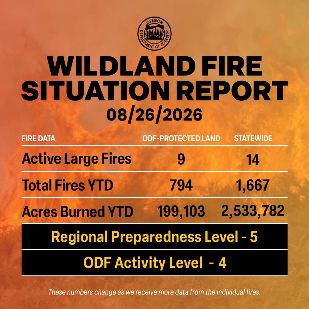
ODF Complex Incident Management Teams
- ODF CIMT 1 is on rotation
- ODF CIMT 2 is in command of the Rowe Creek Complex. Visit the incident Facebook page for updates.
- ODF CIMT 3 is on standby.
Current Large Fires with ODF Involvement (in priority order).
| FIRE NAME | TOTAL ACRES | ODF ACRES | CONTAINMENT | LOCATION | COMMAND |
| Grasshopper | 93,806 | 21,372 | 76% | 3 miles N of Sportsmans Park | GB Team 4 |
| Austin | 8,183 | TBD | 0% | 25 miles SE of Estacada | GB Team 4 |
| The Narrows | 281 | 0 | 0% | 15 miles SE of Estacada | GB Team 4 |
| Paradise | 9,027 | 287 | 0% | 18 miles E of Milton-Freewater | SA Team 3 |
| Hagen | 60,372 | 1,823 | 33% | 26 miles E of Pendleton | SA Team 3 |
| Rowe Creek Complex | 373,981 | 97,469 | 92% | 10 miles S of Fossil | ODF CIMT 2 |
| McCully | 5,458 | 391 | 0% | 22 miles NW of Baker City | NW Team 3 |
| North Pole | 513 | 119 | 0% | 18 miles NW of Baker City | NW Team 3 |
| Wrights Spring | 55,131 | 13,185 | 65% | 2 miles SE of Sprague River | NW Team 7 |
*These numbers may change as we receive more data.
There are approximately 5,652 personnel assigned to the 14 large fires across the state, not including many of the local and agency government employees, landowners, forestland operators, and members of the community who are contributing every day.
Initial attack remains ODF’s top priority.
Prevention: As we already know, fire behavior this season is extremely active and continuously changing. Even as containment is rising on large wildfires, the region is still experiencing critical fire weather. Now is NOT the time to become complacent.
Help your wildland firefighters by preventing the next human-caused wildfire. The easiest way to do this is by checking your local fire restrictions and brushing up on your wildfire prevention knowledge. Remain aware of weather conditions and any red flag warnings in your area. Sign up for emergency alerts at ORalert.gov.
Weather: Warm to hot and dry conditions will persist east of the Cascades and southwest Oregon. Areas west of the Cascades remain cooler under marine influence. A slight chance of mainly dry thunderstorms will occur across Northern Washington, Eastern and Southeast Oregon today. A thermal trough will linger east of the Cascades, enhancing low level instability and ventilation, especially across eastern Oregon. A dry cold front will cross Thursday, producing strong, gusty winds in very dry conditions across most areas east of the crest, with the highest speeds through the Cascade gaps and across the Columbia and Harney Basins. The upper trough will move across the region Saturday, bringing another round of dry, gusty winds mainly on the eastside, while western Washington has better wetting rain potential with thunderstorms.
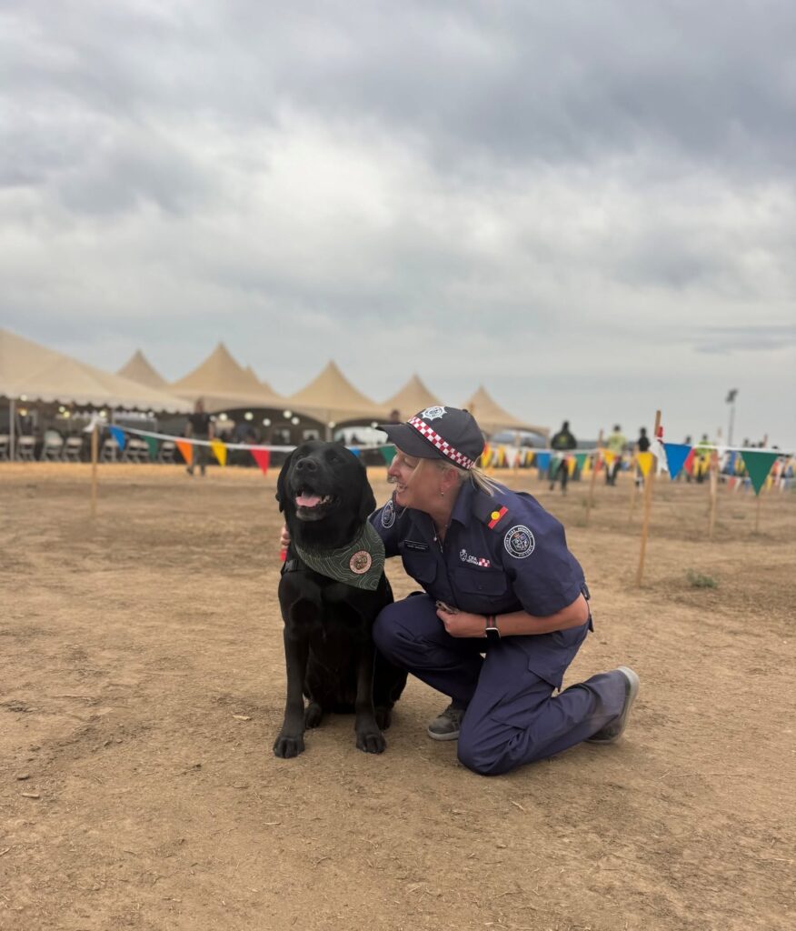 Today’s Highlight: It’s National Dog Day! As the season continues, our furry friends help to give a bit of relief to our firefighters when they return home, and even some relief on a fire when the support dogs come to visit.
Puppy pets and dog kisses help to heal the fatigue of the season, even just a little.
Resources
- ODF wildfire blog and Public Fire Restrictions/Danger Levels map
- Regional situation report and national situation report
- Inciweb (information, photos, videos, and maps from specific incidents)