")
ODF Incident Management Teams
- Team 1 is in command of the Shoe Fly and Two Cabin Fire (Central Oregon District) at 6 p.m. today. Follow the incident’s Facebook page for updates.
- Team 3 is in command of the Copperfield Fire (Klamath-Lake District). Follow the incident’s Facebook page for updates.
- Team 2 will take command of the Fossil Complex (Central Oregon District) today at 6 p.m.
ODF Priority Fires
| FIRE NAME | TOTAL ACRES | ODF ACRES | CONTAINMENT | LOCATION | COMMAND |
| Copperfield | 3,822 | 1,563 | 43% | 5 miles SE of Chiloquin | ODF IMT 3 |
| Shoe Fly | 21,622 | 21,622 | 6% | 7 miles NE of Mitchell | ODF IMT 1 |
| Fossil Complex | 753 | 753 | 0% | East of Fossil | ODF IMT 2 taking command at 1800 |
| Lane 1 | 25,305 | 9,273 | 93% | East of Cottage Grove | ODF ICT 3/ AK Team 1 |
| Battle Mountain Complex | 183,023 | 72,073 | 95% | West of Ukiah | ICT 3 |
| Sandstone | 702 | 0 | 75% | 9 miles SE of Ripplebrook | NW Team 12 |
There are approximately 6,385 personnel assigned to the 23 large fires across the state, not including many of the local and agency government employees, landowners, forestland operators, and members of the community who are contributing every day.
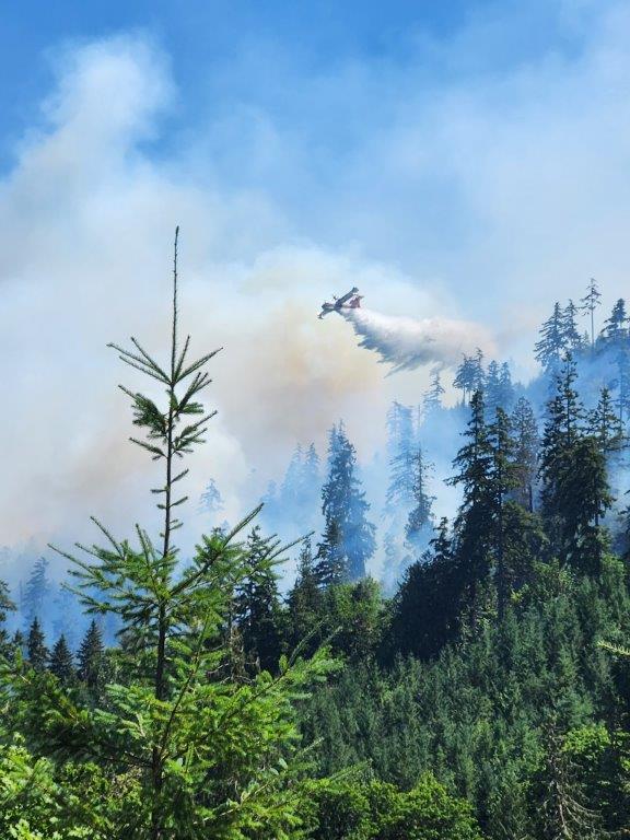
ODF Highlight: The Oregon Department of Forestry prides itself on its aggressive initial attack on new fire starts. Initial attack is the action taken by resources (people and equipment) first to arrive at the incident.
Why does the agency use aggressive initial attack tactics? In short, the end goal is to keep the fire small. By using aggressive initial attack from the start, the agency not only reduces the cost of the fire but also reduces the risk of firefighter injury, reduces smoke intrusion on communities, and reduces the loss of natural resources.
Weather: Hot, dry, and unstable weather continues into the weekend. Strong mixing increases ventilation for all fires through the weekend. Dry thunderstorms are expected mostly over the southern Oregon Cascades today, linger a while tonight, then be focused over the central Oregon Cascades Saturday. Isolated and short-lived thunderstorms continue Sunday along and east of the Cascades. Any thunderstorm these three days can bring strong to severe outflow winds. Deep low pressure approaches the coast beginning Sunday with dry gusty west winds increasing east of the Cascades through Wednesday. Meanwhile, wetting rain returns from the Cascades westward Monday night with potential for eastside wetting rain by Wednesday but also with chances of thunderstorms.
Prevention: By taking extra steps, you can prevent the next human-caused wildfire in Oregon and reduce strain on resources. Know the fire danger level of the areas where you live, work and play, and follow all local restrictions on burning, equipment use, campfires and other activities that can start wildfires. Find danger levels and restrictions across the state here.
Resources
- ODF wildfire blog and Public Fire Restrictions/Danger Levels map
- Regional situation report and national situation report
- Inciweb (information, photos, videos, and maps from specific incidents)