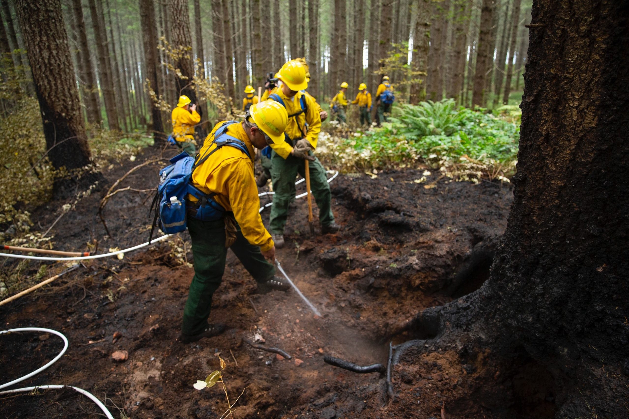
SALEM, Ore. – Just after Labor Day, ODF started tracking 17 major fires. We continue to track 6 of those (see table below for details). Fires are removed from the list when they are 100% lined and fire managers are confident in their progress toward containment.
Recent rains across much of the state have been lowering fire danger levels. As a result, the regional fire preparedness level was lowered to 2 on Saturday. Only one wildfire start was reported yesterday in Oregon, but zero new acres burned were reported.
Remember that fire season isn’t over yet, which means backyard burning and other restrictions are still in effect on ODF-protected lands. Check the public fire restrictions map to see current restrictions for your area.
| Fire name | Acres burned | Containment | Location |
| Lionshead | 204,469 | 46% | 20 miles W of Warm Springs |
| Beachie Creek | 193,556 | 72% | 15 miles N of Detroit |
| Holiday Farm | 173,393 | 96% | 3 miles W of McKenzie Bridge |
| Riverside | 138,054 | 61% | 2 miles SE of Estacada |
| Archie Creek | 131,542 | 95% | 20 miles E of Glide |
| Slater | 44,597 in Oregon | 75% | 6 SE of Cave Junction (also in No. California) |
2020 Fire Season
This fire season, there have been 2,027 fires across all jurisdictions and 1,221,324 acres burned. On ODF-protected lands, there have been 907 fires and 551,816 acres burned.
Closures
Santiam State Forest is still closed to the public. Before heading out to hunt or recreate on other state or federal public lands, please check to see if there are any restrictions or closures due to the recent fires. There are still portions of some highways in wildfire areas that are closed. Use ODOT’s TripCheck to plan your route.

