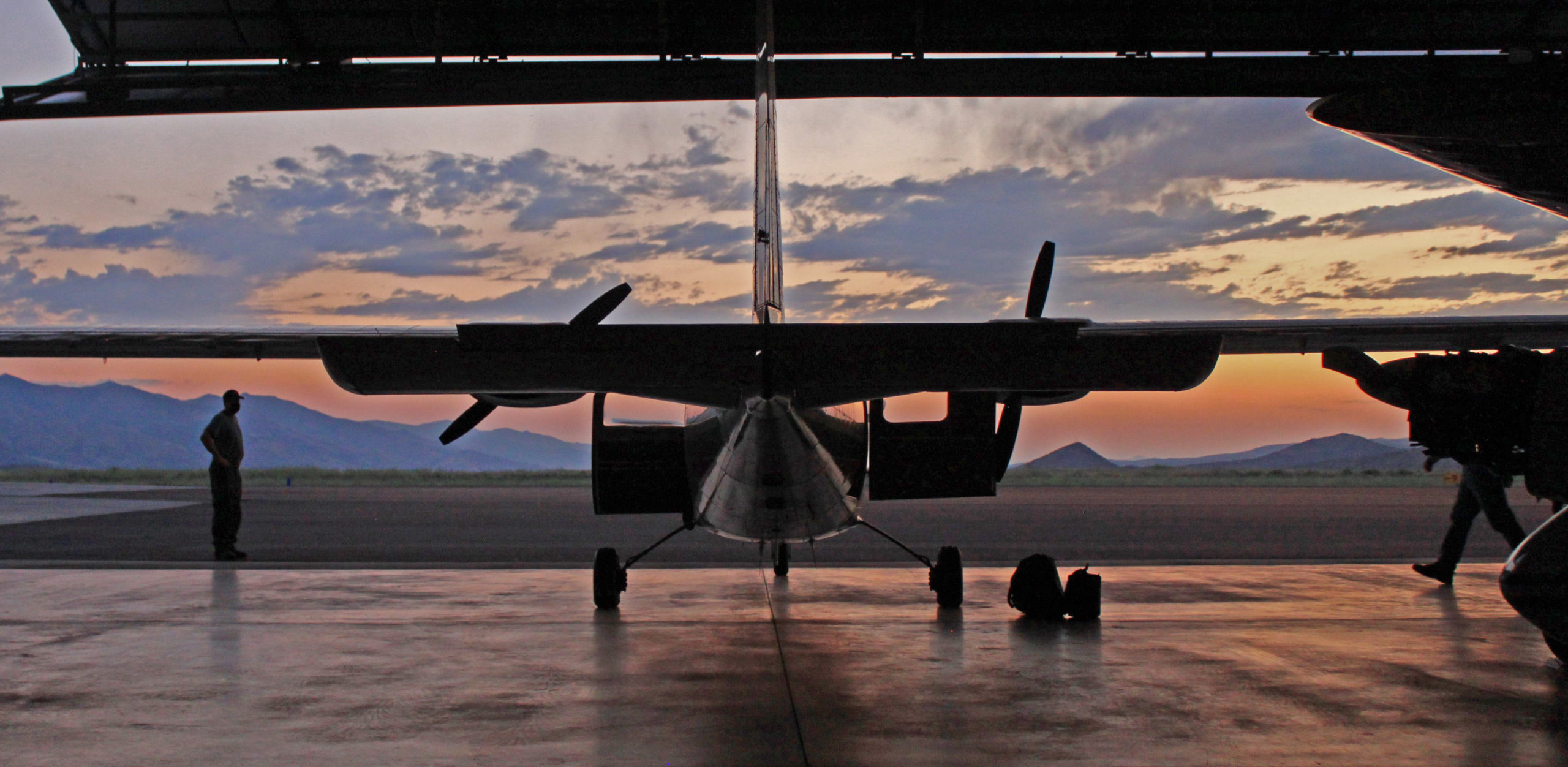
New infrared imaging equipment helps firefighters detect hot spots from the air at night.
JOHN DAY, Ore. – When a thunderstorm sparked hundreds of lightning-caused wildfires across eastern Oregon earlier this month, the Oregon Department of Forestry was ready. Just weeks before, the agency had finished equipping its Partenavia single-engine fire-spotting plane with an infrared camera and a night-vision system. Purchased with a grant from forest landowners through their Emergency Fire Cost Committee, the infrared camera’s superior ability to peer beneath smoke and tree canopies allowed ODF observers to pinpoint hot spots where embers or smoldering material might be hiding. And the new night-vision equipment permitted ODF for the first time to safely look for new fire starts at night,. The contrast between fire and cooler evening air temperatures makes night an ideal time to detect fires while they are still small.
The aircraft has flown close to 120 hours with the new equipment so far this summer, conducting detection and wildfire mapping missions in ODF’s three fire protection districts in eastern Oregon and in its Southwest Oregon District. Night flights earlier this week brought the total of previously unreported fire detections into double digits.
“The earlier a fire is detected, the earlier resources can be dispatched to deal with it. In turn, an early response increases the chances for keeping a wildfire small.,” said Neal Laugle, ODF’s Aviation Manager. Laugle, along with ODF Pilot Dan McCarron, helped ensure the equipment was installed in time for peak fire months this year. It’s a big leap from a century ago when the agency first took fire detection to the skies in 1919 using surplus airplanes from World War I.
In addition to finding places where lightning has started a wildfire, observers in the plane have used the equipment to map the 4,348-acre Green Ridge Fire, the 1,257-acre Laurel Fire and the 699-acre Steets Mountain Fire. All three fires are in rugged areas in eastern Oregon.
“Eric Larson and Cole Lindsay have been rotating as observers/sensor operators and they have been pivotal in the success of the program,” according to ODF State Aviation Coordinator Sarah Lathrop. “They bring fire background and GIS experience, which allows the crew to share critical fire size information with host districts, as well as imagery/videos and mapping for larger incidents. This critical information provides decision support to fire managers so they can more safely and effectively suppress wildfires.”

